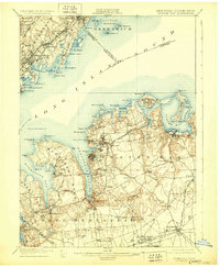
1900 Map of Oyster Bay
USGS Topo · Published 1929About this map
Hempstead Harbor and the complex shoreline of the Long Island Sound define this 1897 survey, reflecting the Gold Coast's transition into a premier residential and maritime hub. On the north shore of Long Island, established communities like Glen Cove and the village of Sea Cliff are shown alongside the early infrastructure of the Long Island railroad system, including the Port Jefferson Branch. Navigational landmarks like Execution Rocks L.H. and Sands Point Light overlook the busy waters of Manhasset Bay and Oyster Bay. Inland, the map captures the rural character of Old Westbury and Hicksville before mid-century suburbanization. Across the sound, the Westchester and Connecticut coasts are detailed from Larchmont to Greenwich, highlighting the tight-knit settlement patterns of Port Chester and Mamaroneck during the late nineteenth century.
Find a feature on this map
103 named features on this map. Tap any name to fly to it.
Don’t see what you’re looking for? This feature index may not catch every label — zoom into the map to look around manually.
Map Details
Editions of this 1900 Oyster Bay Map
15 editions found

1900 edition
16.6 x 20.2 inches
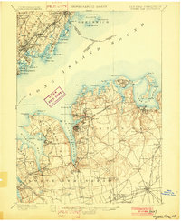
1902 edition
16.6 x 20.1 inches
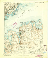
1904 edition
16.6 x 20.1 inches
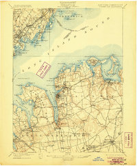
1906 edition
16.6 x 20.1 inches
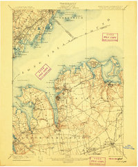
1907 edition
16.6 x 20.1 inches
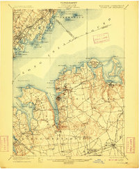
1909 edition
16.6 x 20.1 inches
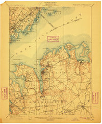
1911 edition
16.6 x 20.1 inches
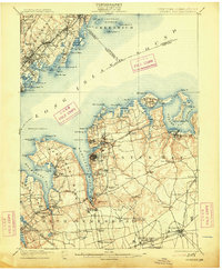
1913 edition
16.6 x 20.2 inches
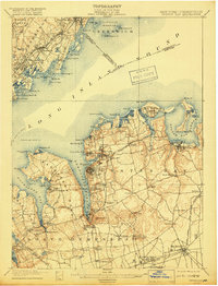
1918 edition
15.2 x 19.9 inches
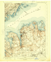
1924 edition
16.6 x 20.2 inches
1929 edition
16.6 x 20.2 inches
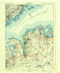
1935 edition
16.6 x 20.1 inches
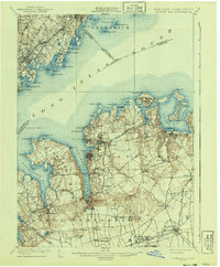
1941 edition
16.6 x 20.1 inches
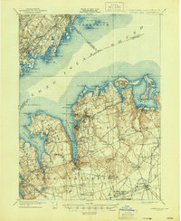
1944 edition
17.1 x 20.8 inches
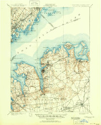
1951 edition
17 x 20.9 inches
Other maps of this area

1889 · Brooklyn
USGS Topo · 1:62,500

1891 · Brooklyn
USGS Topo · 1:62,500

1891 · Harlem
USGS Topo · 1:62,500

1892 · Stamford
USGS Topo · 1:62,500

1892 · Norwalk
USGS Topo · 1:62,500

1892 · Tarrytown
USGS Topo · 1:62,500

1893 · Stamford
USGS Topo · 1:62,500

1893 · Norwalk
USGS Topo · 1:62,500

1893 · Tarrytown
USGS Topo · 1:62,500

1897 · Harlem
USGS Topo · 1:62,500