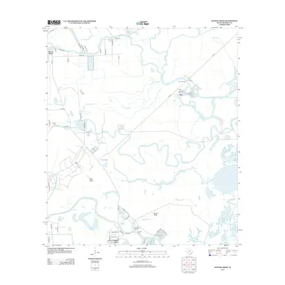
2013 Map of Oyster Creek
USGS Topo · Published 2013About this map
Stratton Ridge Oil Field and the surrounding coastal lowlands define this landscape in Brazoria County, where industrial energy extraction meets a complex network of wetlands and tidal inlets. The topography is dominated by the namesake Stratton Ridge, a geologic feature that has historically influenced local oil and gas production. Water is the primary architect of the terrain, seen in the winding paths of Bastrop Bayou, Austin Bayou, and Big Slough as they move toward the Gulf.
Find a feature on this map
70 named features on this map. Tap any name to fly to it.
Don’t see what you’re looking for? This feature index may not catch every label — zoom into the map to look around manually.
Map Details
Editions of this 2013 Oyster Creek Map
This is the sole edition of this map. No revisions or reprints were ever made.
Other maps of this area

1943 · Oyster Creek
USGS Topo · 1:31,680

1943 · Jones Creek
USGS Topo · 1:31,680

1943 · Danbury
USGS Topo · 1:31,680

1943 · Freeport
USGS Topo · 1:31,680

1943 · Angleton
USGS Topo · 1:24,000

1943 · Christmas Point
USGS Topo · 1:24,000

1943 · Chocolate Bay
USGS Topo · 1:24,000

1943 · Snipe
USGS Topo · 1:31,680

1950 · Houston
USGS Topo · 1:250,000

1951 · Bay City
USGS Topo · 1:250,000