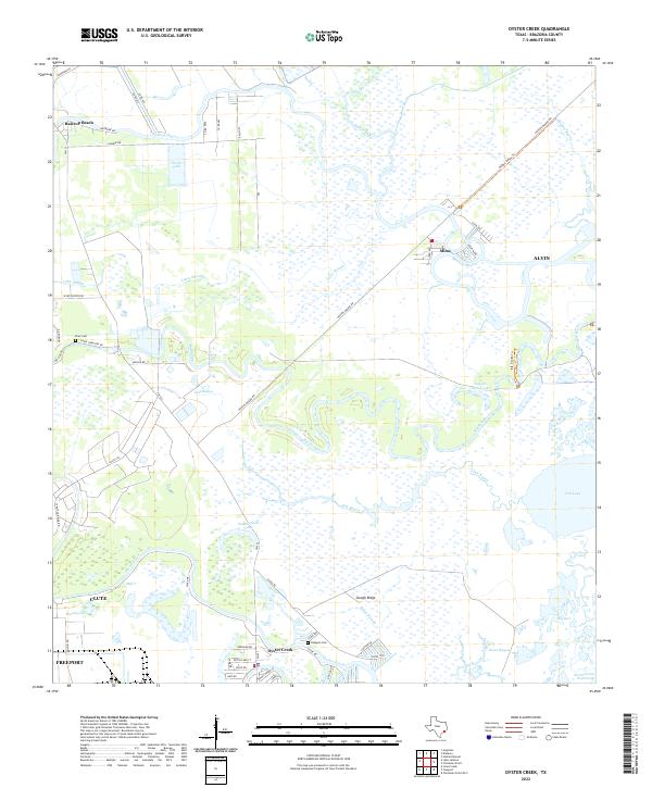
2022 Map of Oyster Creek
USGS Topo · Published 2022About this map
Bastrop Bayou and Austin Bayou wind through a complex network of wetlands and tidal channels in this coastal stretch of Brazoria County. The settlement of Oyster Creek anchors the southern portion of the sheet, while smaller communities like Mims and Bastrop Beach sit among the maze of waterways. This landscape is defined by its shifting hydrology, where Slough Ridge provides a slight elevation contrast to the labyrinthine paths of Big Slough and Little Slough.
Find a feature on this map
59 named features on this map. Tap any name to fly to it.
Don’t see what you’re looking for? This feature index may not catch every label — zoom into the map to look around manually.
Map Details
Editions of this 2022 Oyster Creek Map
This is the sole edition of this map. No revisions or reprints were ever made.
Other maps of this area

1943 · Oyster Creek
USGS Topo · 1:31,680

1943 · Jones Creek
USGS Topo · 1:31,680

1943 · Danbury
USGS Topo · 1:31,680

1943 · Freeport
USGS Topo · 1:31,680

1943 · Angleton
USGS Topo · 1:24,000

1943 · Christmas Point
USGS Topo · 1:24,000

1943 · Chocolate Bay
USGS Topo · 1:24,000

1943 · Snipe
USGS Topo · 1:31,680

1950 · Houston
USGS Topo · 1:250,000

1951 · Bay City
USGS Topo · 1:250,000