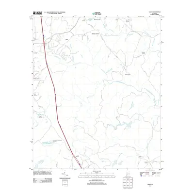
2011 Map of Ozan
USGS Topo · Published 2011About this map
Ozan and Springs Junction sit within a landscape defined by the branching waterways of Shelby County. Just east of the city of Calera, the terrain is carved by the winding paths of Waxahatchee Creek and Buxahatchee Creek, which drain toward the south. The area maintains a high density of rural burying grounds, reflecting the deep family roots and early communities that shaped this part of Alabama.
Find a feature on this map
77 named features on this map. Tap any name to fly to it.
Don’t see what you’re looking for? This feature index may not catch every label — zoom into the map to look around manually.
Map Details
Editions of this 2011 Ozan Map
This is the sole edition of this map. No revisions or reprints were ever made.
Other maps of this area

1890 · Bessemer
USGS Topo · 1:125,000

1891 · Clanton
USGS Topo · 1:125,000

1892 · Bessemer
USGS Topo · 1:125,000

1909 · Columbiana
USGS Topo · 1:62,500

1910 · Montevallo
USGS Topo · 1:62,500

1911 · Columbiana
USGS Topo · 1:62,500

1953 · Montgomery
USGS Topo · 1:250,000

1953 · Birmingham
USGS Topo · 1:250,000

1956 · Birmingham
USGS Topo · 1:250,000

1956 · Montgomery
USGS Topo · 1:250,000