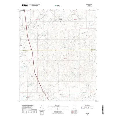
2018 Map of Ozan
USGS Topo · Published 2018About this map
The boundary between Shelby and Chilton Counties divides this central Alabama landscape, where the southern outskirts of Calera give way to the rural communities of Ozan and Springs Junction. The terrain is defined by the winding paths of Buxahatchee Creek and Watson Cr, which carve through the wooded hills and hollows like Sawyer Cove. This area preserves a high density of small family and community burial grounds, providing a significant resource for genealogical research. Prominent sites include the Dover, Miller, and Armstrong cemeteries in the northern reaches, while Archers Chapel and New Hope mark the southern approach toward Jemison. The map also captures several local reservoirs, including Mitchell Lake and the Gulf States Columbiana SW Lake, which serve as landmarks in the evolving rural-residential corridor along Interstate 65.
Find a feature on this map
95 named features on this map. Tap any name to fly to it.
Don’t see what you’re looking for? This feature index may not catch every label — zoom into the map to look around manually.
Map Details
Editions of this 2018 Ozan Map
This is the sole edition of this map. No revisions or reprints were ever made.
Other maps of this area
1890 · Bessemer
USGS Topo · 1:125,000
1891 · Clanton
USGS Topo · 1:125,000
1892 · Bessemer
USGS Topo · 1:125,000
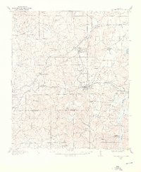
1909 · Columbiana
USGS Topo · 1:62,500
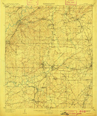
1910 · Montevallo
USGS Topo · 1:62,500
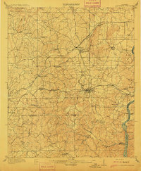
1911 · Columbiana
USGS Topo · 1:62,500
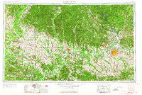
1953 · Montgomery
USGS Topo · 1:250,000
1953 · Birmingham
USGS Topo · 1:250,000
1956 · Birmingham
USGS Topo · 1:250,000
1956 · Montgomery
USGS Topo · 1:250,000