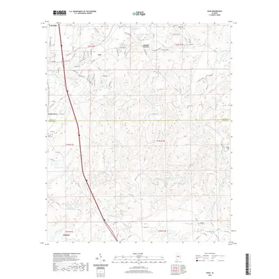
2020 Map of Ozan
USGS Topo · Published 2020About this map
Buxahatchee Creek and its many tributaries, including Watson Creek and Stumps Creek, define the drainage patterns across this section of central Alabama. The topography is dotted with a dense network of local cemeteries that anchor the rural landscape, from the Shiloh Busby Cem in the west to the Archers Chapel Cem and New Hope Cem in the southeast. Small settlements like Ozan, Springs Junction, and South Calera serve as historical nodes, while the boundary between Shelby Co and Chilton Co bisects the southern portion of the quadrangle.
Find a feature on this map
107 named features on this map. Tap any name to fly to it.
Don’t see what you’re looking for? This feature index may not catch every label — zoom into the map to look around manually.
Map Details
Editions of this 2020 Ozan Map
This is the sole edition of this map. No revisions or reprints were ever made.
Other maps of this area

1890 · Bessemer
USGS Topo · 1:125,000

1891 · Clanton
USGS Topo · 1:125,000

1892 · Bessemer
USGS Topo · 1:125,000

1909 · Columbiana
USGS Topo · 1:62,500

1910 · Montevallo
USGS Topo · 1:62,500

1911 · Columbiana
USGS Topo · 1:62,500

1953 · Montgomery
USGS Topo · 1:250,000

1953 · Birmingham
USGS Topo · 1:250,000

1956 · Birmingham
USGS Topo · 1:250,000

1956 · Montgomery
USGS Topo · 1:250,000