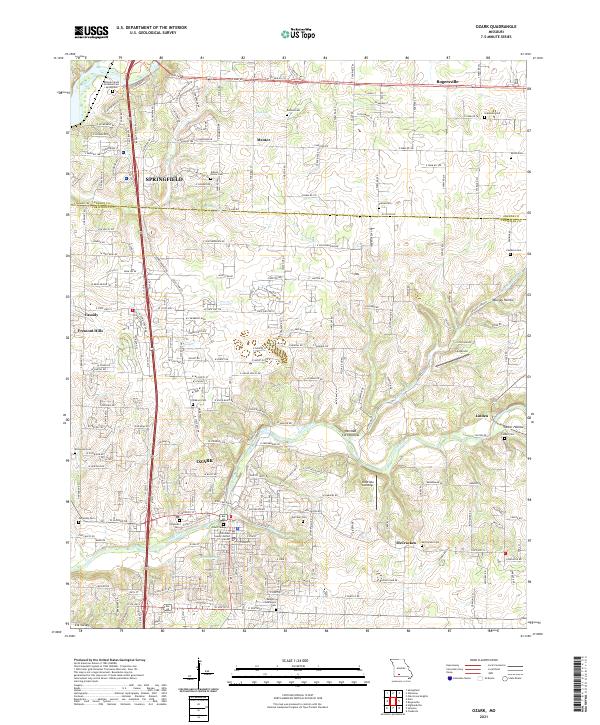
2021 Map of Ozark
USGS Topo · Published 2021About this map
Finley Creek and its southern tributaries, Garrison Br and Parched Corn Cr, carve a winding path through this Christian County landscape, anchoring the city of Ozark. The map documents a period of significant suburban expansion between the southern edge of Springfield and the historic river bottoms, where modern developments like Fremont Hills and Cassidy now neighbor established rural centers.
Find a feature on this map
146 named features on this map. Tap any name to fly to it.
Don’t see what you’re looking for? This feature index may not catch every label — zoom into the map to look around manually.
Map Details
Editions of this 2021 Ozark Map
This is the sole edition of this map. No revisions or reprints were ever made.
Other maps of this area

1884 · Springfield
USGS Topo · 1:125,000

1886 · Springfield
USGS Topo · 1:125,000

1907 · Forsyth
USGS Topo · 1:125,000

1935 · Springfield
USGS Topo · 1:24,000

1937 · Galloway
USGS Topo · 1:24,000

1937 · Ozark
USGS Topo · 1:48,000

1943 · Ozark
USGS Topo · 1:62,500

1945 · Harrison
USGS Topo · 1:250,000

1945 · Ozark
USGS Topo · 1:62,500
1948 · Galloway
USGS Topo · 1:24,000