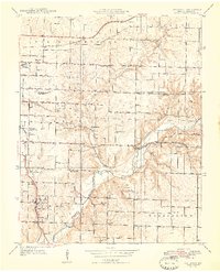
1948 Map of Galloway
USGS Topo · Published 1948About this map
Galloway serves as a primary hub in the southwestern portion of this map, situated where the St Louis-San Francisco railroad lines converge near Sequiota State Park. The landscape is defined by the winding course of the James River and its tributaries, including Pearson Creek and Turner Creek. This era reveals a rural community supported by a dense network of country schools such as Shady Dell Sch, Oakland Sch, and Plummer Sch, alongside several family and community burial grounds like Parsley Cem and Lee Cem.
Find a feature on this map
48 named features on this map. Tap any name to fly to it.
Don’t see what you’re looking for? This feature index may not catch every label — zoom into the map to look around manually.
Map Details
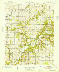
Editions of this 1948 Galloway Map
2 editions found
Other maps of this area

1884 · Springfield
USGS Topo · 1:125,000

1886 · Springfield
USGS Topo · 1:125,000

1935 · Springfield
USGS Topo · 1:24,000

1937 · Galloway
USGS Topo · 1:24,000

1937 · Ozark
USGS Topo · 1:48,000

1943 · Ozark
USGS Topo · 1:62,500

1945 · Ozark
USGS Topo · 1:62,500

1946 · Bassville
USGS Topo · 1:24,000

1947 · Strafford
USGS Topo · 1:62,500

1948 · Bassville
USGS Topo · 1:24,000