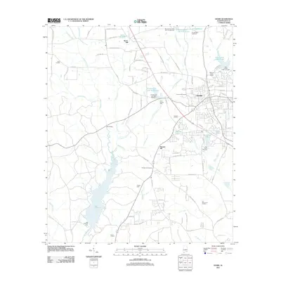
2011 Map of Ozark
USGS Topo · Published 2011About this map
Ozark serves as the primary urban center in this 2011 survey, showing a well-defined street grid that meets the winding hydrology of southeastern Alabama. The landscape is characterized by numerous small impoundments and creek systems, including Claybank Creek and Little Claybank Creek, which flow toward the significant expanse of Lake Tholocco in the southwest. The presence of Marley Mill and its associated Marley Millpond in the north suggests the enduring importance of water-driven industry and local landmarks in the community's development.
Find a feature on this map
99 named features on this map. Tap any name to fly to it.
Don’t see what you’re looking for? This feature index may not catch every label — zoom into the map to look around manually.
Map Details
Editions of this 2011 Ozark Map
This is the sole edition of this map. No revisions or reprints were ever made.
Other maps of this area

1942 · Enterprise
USGS Topo · 1:125,000

1948 · Ozark
USGS Topo · 1:62,500

1948 · Brundidge
USGS Topo · 1:62,500

1950 · Ozark
USGS Topo · 1:62,500

1950 · Enterprise
USGS Topo · 1:62,500

1950 · Brundidge
USGS Topo · 1:62,500

1953 · Dothan
USGS Topo · 1:250,000

1954 · Dothan
USGS Topo · 1:250,000

1955 · Dothan
USGS Topo · 1:250,000

1960 · Ewell
USGS Topo · 1:24,000