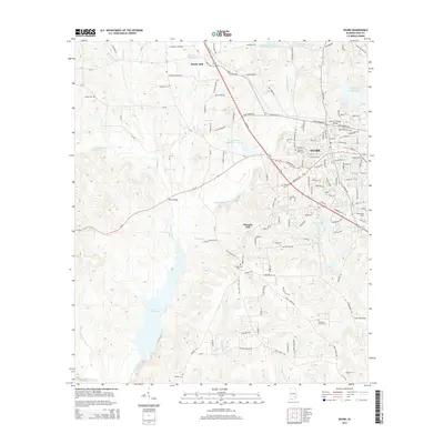
2014 Map of Ozark
USGS Topo · Published 2014About this map
Ozark and its surrounding Wiregrass countryside appear here in high detail, defined by the winding course of Claybank Creek and its many tributaries. The area is characterized by family-named landmarks and rural clusters like Marley Mill and Pleasant Hill, suggesting a landscape rooted in local lineage and historical land use. Significant water features such as Lake Tholocco and Marley Millpond dot the topography, while numerous small cemeteries, including Salem Cem and Beulah Cem, provide valuable waypoints for genealogists tracing family histories in Dale County. The survey also captures the local aviation footprint at Blackwell Field and the community importance of water resources shown at Dale County Public Lake. This network of rural roads and bridges, such as Byrd Bridge, illustrates the connectivity of a region where agriculture and small-town commerce meet.
Find a feature on this map
140 named features on this map. Tap any name to fly to it.
Don’t see what you’re looking for? This feature index may not catch every label — zoom into the map to look around manually.
Map Details
Editions of this 2014 Ozark Map
This is the sole edition of this map. No revisions or reprints were ever made.
Other maps of this area
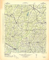
1942 · Enterprise
USGS Topo · 1:125,000
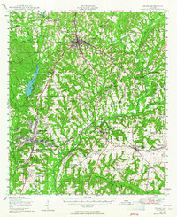
1948 · Ozark
USGS Topo · 1:62,500
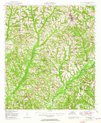
1948 · Brundidge
USGS Topo · 1:62,500
1950 · Ozark
USGS Topo · 1:62,500
1950 · Enterprise
USGS Topo · 1:62,500
1950 · Brundidge
USGS Topo · 1:62,500
1953 · Dothan
USGS Topo · 1:250,000
1954 · Dothan
USGS Topo · 1:250,000
1955 · Dothan
USGS Topo · 1:250,000
1960 · Ewell
USGS Topo · 1:24,000