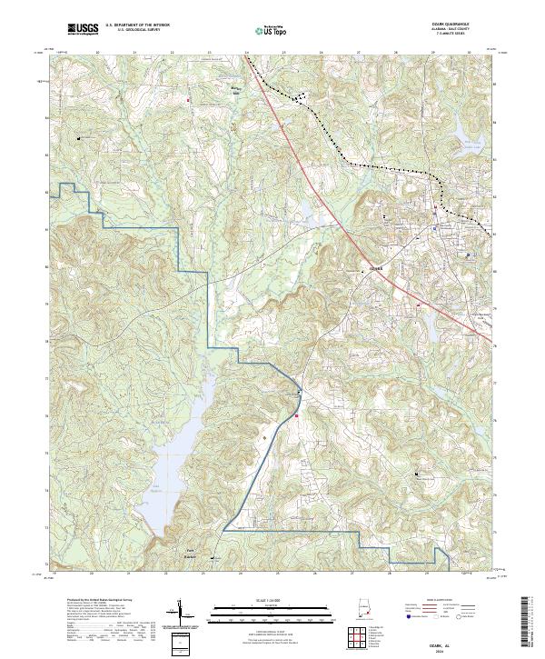
2024 Map of Ozark
USGS Topo · Published 2024About this map
Ozark serves as the regional hub in this contemporary survey of Dale County, with its civic heart centered at the Dale County Courthouse. The landscape transitions from the urban street grid of the city, passing the Ozark/Blackwell Field, into the expansive military reservation of Fort Rucker. This area is defined by a dense network of water bodies and rural landmarks, including Marley Millpond and the settlement of Marley Mill to the north.
Find a feature on this map
84 named features on this map. Tap any name to fly to it.
Don’t see what you’re looking for? This feature index may not catch every label — zoom into the map to look around manually.
Map Details
Editions of this 2024 Ozark Map
This is the sole edition of this map. No revisions or reprints were ever made.
Other maps of this area

1942 · Enterprise
USGS Topo · 1:125,000

1948 · Ozark
USGS Topo · 1:62,500

1948 · Brundidge
USGS Topo · 1:62,500

1950 · Ozark
USGS Topo · 1:62,500

1950 · Enterprise
USGS Topo · 1:62,500

1950 · Brundidge
USGS Topo · 1:62,500

1953 · Dothan
USGS Topo · 1:250,000

1954 · Dothan
USGS Topo · 1:250,000

1955 · Dothan
USGS Topo · 1:250,000

1960 · Ewell
USGS Topo · 1:24,000