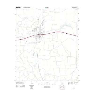
2012 Map of Ozona
USGS Topo · Published 2012About this map
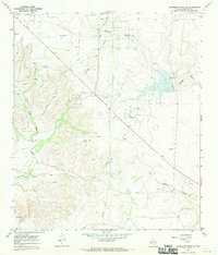
The town of Ozona serves as the central hub of this Crockett County landscape, showcasing a grid of residential streets like Owens St and Angus St that sit north of the major transportation corridors. The local economy is underscored by the presence of the Ozona Gas and Oil Field to the west and the Ozona Municipal Airport to the north. South of the main settlement, the Cedar Hill Cem provides a point of genealogical interest, while the terrain is defined by the natural drainage of Gurley Draw. Water management in this semi-arid region is represented by the Soil Conservation Service Site 7 Reservoir to the east. The map details a transition from town life to the expansive ranching and energy-producing lands accessed via Ranch Road 1312 and Hwy-163.
Find a feature on this map
50 named features on this map. Tap any name to fly to it.
Don’t see what you’re looking for? This feature index may not catch every label — zoom into the map to look around manually.
Map Details
Editions of this 2012 Ozona Map
This is the sole edition of this map. No revisions or reprints were ever made.
Other maps of this area

1954 · Sonora
USGS Topo · 1:250,000

1958 · Sonora
USGS Topo · 1:250,000
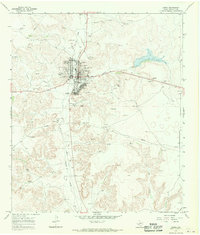
1967 · Ozona
USGS Topo · 1:24,000
1967 · Baggett Ranch
USGS Topo · 1:24,000
1967 · Double Mill Draw SE
USGS Topo · 1:24,000
1967 · Ozona SE
USGS Topo · 1:24,000
1967 · Indio Hill
USGS Topo · 1:24,000
1967 · Hunt Ranch
USGS Topo · 1:24,000
1967 · Crockett Heights
USGS Topo · 1:24,000
1967 · Schneeman Draw SE
USGS Topo · 1:24,000