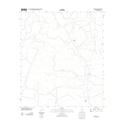
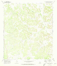
2012 Map of Ozona SE
USGS Topo · Published 2012About this map
Read Ranch and Perner Ranch anchor this West Texas landscape in southern Crockett County, reflecting the deep-rooted ranching heritage of the Edwards Plateau. The terrain is defined by a network of ephemeral drainage systems, most notably Son Chapman Draw, which winds through the central portion of the map. These draws and canyons, including Plum Canyon and Rock House Canyon, dictate the placement of local roads and property boundaries in this sparsely populated region. This 2012 survey captures the modern footprint of these historic landholdings, where geography and water management remain the primary drivers of land use. The scarcity of named settlements beyond these family ranches highlights the enduring nature of the large-scale pastoral economy in this part of Texas.
Find a feature on this map
8 named features on this map. Tap any name to fly to it.
Don’t see what you’re looking for? This feature index may not catch every label — zoom into the map to look around manually.
Map Details
Editions of this 2012 Ozona SE Map
This is the sole edition of this map. No revisions or reprints were ever made.
Other maps of this area

1954 · Sonora
USGS Topo · 1:250,000

1958 · Sonora
USGS Topo · 1:250,000
1967 · Nolen Draw
USGS Topo · 1:24,000
1967 · Ozona
USGS Topo · 1:24,000
1967 · Baggett Ranch
USGS Topo · 1:24,000
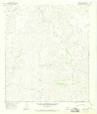
1967 · Ozona SE
USGS Topo · 1:24,000
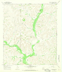
1967 · Shafter Draw
USGS Topo · 1:24,000
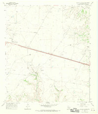
1967 · Crockett Heights
USGS Topo · 1:24,000
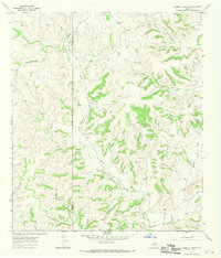
1967 · Hospital Ranch
USGS Topo · 1:24,000
1969 · Wild Horse Canyon
USGS Topo · 1:24,000