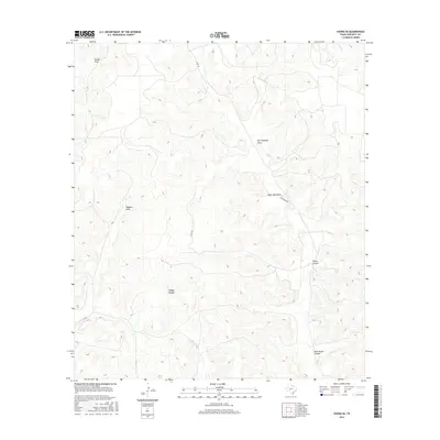
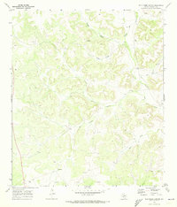
2016 Map of Ozona SE
USGS Topo · Published 2016About this map
Deep drainage systems and high plateau country characterize this portion of Crockett County in the mid-2010s. The landscape is defined by long-established ranching pathways and significant topographic relief, with Tucker Draw and Son Chapman Draw cutting through the northern reaches. These intermittent watercourses, including Baggett Draw and Taylor Box Draw, form a complex network of seasonal hydrologic patterns essential to the region's semi-arid environment.
Find a feature on this map
10 named features on this map. Tap any name to fly to it.
Don’t see what you’re looking for? This feature index may not catch every label — zoom into the map to look around manually.
Map Details
Editions of this 2016 Ozona SE Map
This is the sole edition of this map. No revisions or reprints were ever made.
Other maps of this area

1954 · Sonora
USGS Topo · 1:250,000

1958 · Sonora
USGS Topo · 1:250,000
1967 · Nolen Draw
USGS Topo · 1:24,000
1967 · Ozona
USGS Topo · 1:24,000
1967 · Baggett Ranch
USGS Topo · 1:24,000
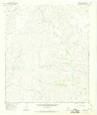
1967 · Ozona SE
USGS Topo · 1:24,000
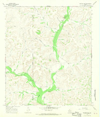
1967 · Shafter Draw
USGS Topo · 1:24,000
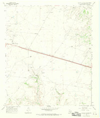
1967 · Crockett Heights
USGS Topo · 1:24,000
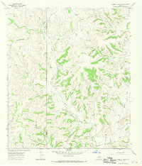
1967 · Hospital Ranch
USGS Topo · 1:24,000
1969 · Wild Horse Canyon
USGS Topo · 1:24,000