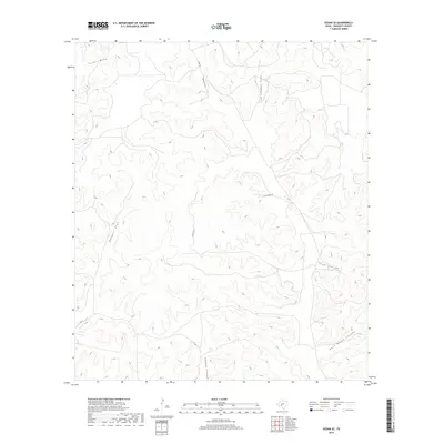
2019 Map of Ozona SE
USGS Topo · Published 2019About this map
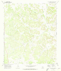
The high plateau of Crockett County is defined by a dense network of dry drainage systems, as seen in this 2019 survey of the Edwards Plateau region. Steep-walled incisions like Plum Canyon and Rock House Canyon dominate the southeastern landscape, while the northern reaches are carved by the long reaches of Tucker Draw and Son Chapman Draw. These ephemeral waterways shape the movement across the ranching country, dictating the paths of local routes such as Co Rd 101 and Taylor Box Rd. The map illustrates the specialized water management required in this arid environment, where named features like Shaggy Canyon and Baggett Draw serve as the primary landmarks in an area of minimal permanent settlement, providing essential orientation for land management and local navigation.
Find a feature on this map
10 named features on this map. Tap any name to fly to it.
Don’t see what you’re looking for? This feature index may not catch every label — zoom into the map to look around manually.
Map Details
Editions of this 2019 Ozona SE Map
This is the sole edition of this map. No revisions or reprints were ever made.
Other maps of this area

1954 · Sonora
USGS Topo · 1:250,000

1958 · Sonora
USGS Topo · 1:250,000
1967 · Nolen Draw
USGS Topo · 1:24,000
1967 · Ozona
USGS Topo · 1:24,000
1967 · Baggett Ranch
USGS Topo · 1:24,000
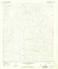
1967 · Ozona SE
USGS Topo · 1:24,000
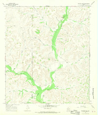
1967 · Shafter Draw
USGS Topo · 1:24,000
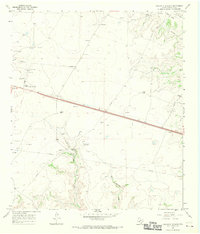
1967 · Crockett Heights
USGS Topo · 1:24,000
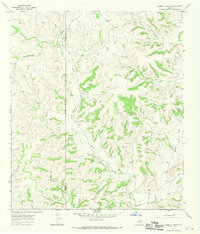
1967 · Hospital Ranch
USGS Topo · 1:24,000
1969 · Wild Horse Canyon
USGS Topo · 1:24,000