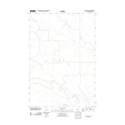
2011 Map of P K Ranch SE
USGS Topo · Published 2011About this map
The Yellowstone River anchors the southern boundary of this high-plains landscape, where the confluence of riparian drainage and historic overland routes tells a story of western transit. Deeply etched into the terrain, Pompeys Pillar Creek and Railroad Creek wind across the landscape, providing essential water sources in an area defined by its open range.
Find a feature on this map
11 named features on this map. Tap any name to fly to it.
Don’t see what you’re looking for? This feature index may not catch every label — zoom into the map to look around manually.
Map Details
Editions of this 2011 P K Ranch SE Map
This is the sole edition of this map. No revisions or reprints were ever made.
Other maps of this area

1893 · Huntley
USGS Topo · 1:125,000

1894 · Fort Custer
USGS Topo · 1:125,000

1954 · Billings
USGS Topo · 1:250,000

1954 · Hardin
USGS Topo · 1:250,000

1954 · Forsyth
USGS Topo · 1:250,000

1954 · Roundup
USGS Topo · 1:250,000

1957 · Hardin
USGS Topo · 1:250,000

1957 · Forsyth
USGS Topo · 1:250,000

1957 · Billings
USGS Topo · 1:250,000

1958 · Billings
USGS Topo · 1:250,000