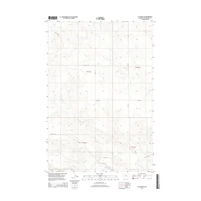
2014 Map of P K Ranch SE
USGS Topo · Published 2014About this map
Yellowstone River waters define the southern edge of this landscape in Yellowstone County, where the historic path of the Bozeman Trl cuts across the terrain. This corridor traces a significant piece of Montana's overland history, following the contours above the river valley. The map reveals a drainage system dominated by Railroad Cr and Pompeys Pillar Cr, which carve through the high ground north of the river. This area remains largely defined by its rural grid, with long stretches of gravel and dirt routes like Lambert Trail Rd and Scothern Rd connecting isolated tracts of ranch land. Modern infrastructure is limited to secondary roads such as Bundy Rd, reflecting a landscape that preserves its traditional western ranching layout well into the twenty-first century.
Find a feature on this map
13 named features on this map. Tap any name to fly to it.
Don’t see what you’re looking for? This feature index may not catch every label — zoom into the map to look around manually.
Map Details
Editions of this 2014 P K Ranch SE Map
This is the sole edition of this map. No revisions or reprints were ever made.
Other maps of this area

1893 · Huntley
USGS Topo · 1:125,000

1894 · Fort Custer
USGS Topo · 1:125,000

1954 · Billings
USGS Topo · 1:250,000

1954 · Hardin
USGS Topo · 1:250,000

1954 · Forsyth
USGS Topo · 1:250,000

1954 · Roundup
USGS Topo · 1:250,000

1957 · Hardin
USGS Topo · 1:250,000

1957 · Forsyth
USGS Topo · 1:250,000

1957 · Billings
USGS Topo · 1:250,000

1958 · Billings
USGS Topo · 1:250,000