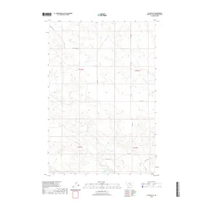
2020 Map of P K Ranch SE
USGS Topo · Published 2020About this map
The Yellowstone River cuts through the southern edge of this Yellowstone County landscape, anchoring a region defined by historical overland travel and drainage systems. This area preserves the corridor of the Bozeman Trl, a vital historical route represented here alongside its modern namesake, Bozeman Trail Rd. The terrain is deeply dissected by seasonal watercourses, including the winding paths of Pompeys Pillar Cr and Railroad Cr, which drain the uplands toward the river valley. The map documents a sparse, rural road network including Bundy Rd and Railroad Creek Rd, illustrating the transition from historic western trails to modern section-line access. This 2020 survey is an essential resource for understanding how legacy transportation routes like the Bozeman Trail continue to shape the geography of the northern plains.
Find a feature on this map
14 named features on this map. Tap any name to fly to it.
Don’t see what you’re looking for? This feature index may not catch every label — zoom into the map to look around manually.
Map Details
Editions of this 2020 P K Ranch SE Map
This is the sole edition of this map. No revisions or reprints were ever made.
Other maps of this area

1893 · Huntley
USGS Topo · 1:125,000

1894 · Fort Custer
USGS Topo · 1:125,000

1954 · Billings
USGS Topo · 1:250,000

1954 · Hardin
USGS Topo · 1:250,000

1954 · Forsyth
USGS Topo · 1:250,000

1954 · Roundup
USGS Topo · 1:250,000

1957 · Hardin
USGS Topo · 1:250,000

1957 · Forsyth
USGS Topo · 1:250,000

1957 · Billings
USGS Topo · 1:250,000

1958 · Billings
USGS Topo · 1:250,000