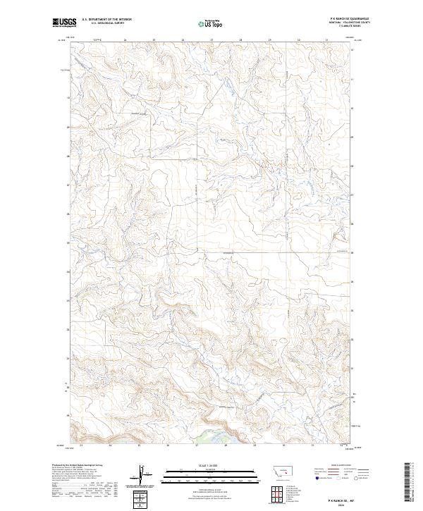
2024 Map of P K Ranch SE
USGS Topo · Published 2024About this map
The Yellowstone River cuts across the southern edge of this modern landscape, serving as a primary geographic anchor for a region defined by high plains drainage. Historically significant corridors like the Bozeman Trl and Bozeman Trail Rd trace the path of nineteenth-century western migration through these drainages. The terrain is marked by distinctive features such as Castle Butte in the southeast and the winding paths of Railroad Creek and Pompeys Pillar Creek. A network of rural routes including Railroad Creek Rd and Scothern Rd provides access to the interior, reflecting a land use pattern dominated by ranching and open space. The grid of section lines across T3N and T4N underscores the persistent legacy of the Public Land Survey System in organizing this Montana territory.
Find a feature on this map
14 named features on this map. Tap any name to fly to it.
Don’t see what you’re looking for? This feature index may not catch every label — zoom into the map to look around manually.
Map Details
Editions of this 2024 P K Ranch SE Map
This is the sole edition of this map. No revisions or reprints were ever made.
Other maps of this area

1893 · Huntley
USGS Topo · 1:125,000

1894 · Fort Custer
USGS Topo · 1:125,000

1954 · Billings
USGS Topo · 1:250,000

1954 · Hardin
USGS Topo · 1:250,000

1954 · Forsyth
USGS Topo · 1:250,000

1954 · Roundup
USGS Topo · 1:250,000

1957 · Hardin
USGS Topo · 1:250,000

1957 · Forsyth
USGS Topo · 1:250,000

1957 · Billings
USGS Topo · 1:250,000

1958 · Billings
USGS Topo · 1:250,000