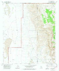
1973 Map of P X Flat
USGS Topo · Published 1977About this map
The high desert and mountain frontier of the Texas-New Mexico border are documented here shortly after the establishment of Guadalupe Mountains National Park. The landscape transitions sharply from the low Salt Basin and Crow Flats in the west to the dramatic elevations of the Brokeoff Mountains and the Guadalupe range. This 1973 survey records a network of historic transit routes, most notably the Butterfield Trail skirting the base of the mountains and the Old Px Trail winding through the peaks near Px Flat.
Find a feature on this map
38 named features on this map. Tap any name to fly to it.
Don’t see what you’re looking for? This feature index may not catch every label — zoom into the map to look around manually.
Map Details
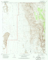
Editions of this 1973 P X Flat Map
2 editions found
Other maps of this area

1933 · Guadalupe Peak
USGS Topo · 1:48,000

1935 · El Paso Gap
USGS Topo · 1:62,500

1936 · El Paso Gap
USGS Topo · 1:48,000

1940 · El Paso Gap
USGS Topo · 1:62,500

1940 · Guadalupe Peak
USGS Topo · 1:62,500

1951 · Dell City
USGS Topo · 1:62,500

1954 · Carlsbad
USGS Topo · 1:250,000

1954 · Van Horn
USGS Topo · 1:250,000

1958 · Van Horn
USGS Topo · 1:250,000

1958 · Carlsbad
USGS Topo · 1:250,000