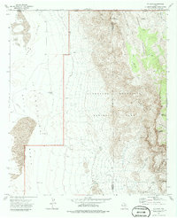
1973 Map of P X Flat
USGS Topo · Published 1986About this map
Guadalupe Mountains National Park dominates the eastern half of this 1970s landscape, where the high peaks of the Guadalupe Mountains drop sharply into the arid lowlands of the Salt Basin. This survey preserves the path of the historic Butterfield Trail as it winds through the desert floor west of Cutoff Ridge, providing a clear record of the overland transit corridor used during the mid-19th century. The terrain is defined by extreme elevation changes between Bush Mountain and the expansive Crow Flats, punctuated by remote water sources critical for ranching and travel in this environment. Named points like Ables Well, Williams Ranch, and Eclipse Well highlight the sparse human footprint and the reliance on isolated springs and wells, such as Bone Spring, to sustain life in the shadows of the Brokeoff Mountains.
Find a feature on this map
35 named features on this map. Tap any name to fly to it.
Don’t see what you’re looking for? This feature index may not catch every label — zoom into the map to look around manually.
Map Details
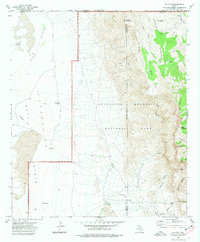
Editions of this 1973 P X Flat Map
2 editions found
Other maps of this area

1933 · Guadalupe Peak
USGS Topo · 1:48,000

1935 · El Paso Gap
USGS Topo · 1:62,500

1936 · El Paso Gap
USGS Topo · 1:48,000

1940 · El Paso Gap
USGS Topo · 1:62,500

1940 · Guadalupe Peak
USGS Topo · 1:62,500

1951 · Dell City
USGS Topo · 1:62,500

1954 · Carlsbad
USGS Topo · 1:250,000

1954 · Van Horn
USGS Topo · 1:250,000

1958 · Van Horn
USGS Topo · 1:250,000

1958 · Carlsbad
USGS Topo · 1:250,000