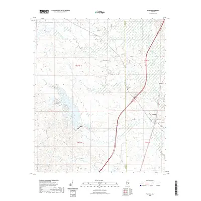
2020 Map of Pachuta
USGS Topo · Published 2020About this map
Pachuta stands as the primary hub of activity in this section of East Mississippi, where the boundary between Jasper Co and Clarke Co divides the landscape. The region is defined by a dense network of waterways, with Twistwood Cr and Chicwillasaw Cr drainage systems carving through the terrain toward the south. This modern survey illustrates the proximity of smaller communities like Orange and Beatrice to the larger transportation corridors that now bisect the traditional rural landscape. Genealogy researchers can identify local landmarks such as Herrington Cem, while the inclusion of numerous county roads, such as Co RD 16 and Co RD 31, provides a clear view of the contemporary land use and connectivity between timberlands and residential centers. The map also highlights the Phalti Lakes area, reflecting the natural hydrography that has shaped the settlement patterns of this piney woods region.
Find a feature on this map
57 named features on this map. Tap any name to fly to it.
Don’t see what you’re looking for? This feature index may not catch every label — zoom into the map to look around manually.
Map Details
Editions of this 2020 Pachuta Map
This is the sole edition of this map. No revisions or reprints were ever made.
Other maps of this area

1953 · Hattiesburg
USGS Topo · 1:250,000

1953 · Meridian
USGS Topo · 1:250,000

1957 · Meridian
USGS Topo · 1:250,000

1957 · Enterprise
USGS Topo · 1:62,500

1958 · Hattiesburg
USGS Topo · 1:250,000

1963 · Waldrup
USGS Topo · 1:24,000

1963 · Heidelberg
USGS Topo · 1:24,000

1964 · Hale
USGS Topo · 1:24,000

1965 · Meridian
USGS Topo · 1:250,000

1970 · Paulding
USGS Topo · 1:24,000