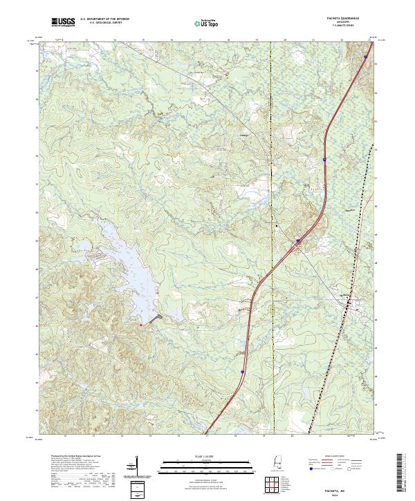
2024 Map of Pachuta
USGS Topo · Published 2024About this map
Pachuta stands as the primary hub of this eastern Mississippi landscape, where the local street grid intersects with State Hwy 512. The terrain is defined by a dense network of waterways, including Pachuta Creek and Shubuta Creek, which drain the low-lying timberlands. The Jasper and Clarke county line bisects the area, with smaller named locales like Orange and Beatrice punctuating the rural interior.
Find a feature on this map
57 named features on this map. Tap any name to fly to it.
Don’t see what you’re looking for? This feature index may not catch every label — zoom into the map to look around manually.
Map Details
Editions of this 2024 Pachuta Map
This is the sole edition of this map. No revisions or reprints were ever made.
Other maps of this area

1953 · Hattiesburg
USGS Topo · 1:250,000

1953 · Meridian
USGS Topo · 1:250,000

1957 · Meridian
USGS Topo · 1:250,000

1957 · Enterprise
USGS Topo · 1:62,500

1958 · Hattiesburg
USGS Topo · 1:250,000

1963 · Waldrup
USGS Topo · 1:24,000

1963 · Heidelberg
USGS Topo · 1:24,000

1964 · Hale
USGS Topo · 1:24,000

1965 · Meridian
USGS Topo · 1:250,000

1970 · Paulding
USGS Topo · 1:24,000