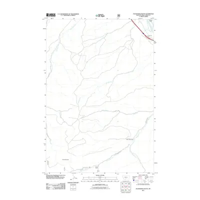
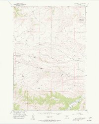
2011 Map of Packsaddle Butte
USGS Topo · Published 2011About this map
Packsaddle Butte rises as a prominent landmark in this portion of Sweet Grass County, anchoring a landscape defined by an intricate network of drainage systems and high-country topography. The northern edge of the map is shaped by the Yellowstone River, which runs adjacent to the Greycliff Rest Area and Interstate 90. Flowing from the south and west, a series of significant watercourses including Bridger Creek, West Bridger Creek, and Greycliff Creek carve through the terrain, joined by smaller drainages such as Log Cabin Creek and Lower Deer Creek. The road network is largely rural, with routes like Halvorson Rd and W Bridger Creek Rd providing access to the more isolated areas near Bear Chip Coulee and Derby Gulch. This 2011 survey captures the area's essential hydrology and landforms, illustrating the transition from the river corridor to the higher elevations of the butte country.
Find a feature on this map
17 named features on this map. Tap any name to fly to it.
Don’t see what you’re looking for? This feature index may not catch every label — zoom into the map to look around manually.
Map Details
Editions of this 2011 Packsaddle Butte Map
This is the sole edition of this map. No revisions or reprints were ever made.
Other maps of this area

1891 · Big Timber
USGS Topo · 1:125,000

1893 · Big Timber
USGS Topo · 1:125,000

1954 · Big Timber
USGS Topo · 1:24,000
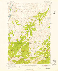
1954 · Ross Canyon
USGS Topo · 1:24,000
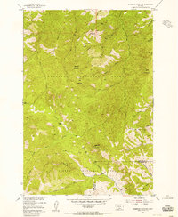
1954 · Sliderock Mountain
USGS Topo · 1:24,000

1954 · Billings
USGS Topo · 1:250,000

1955 · Packsaddle Butte
USGS Topo · 1:24,000
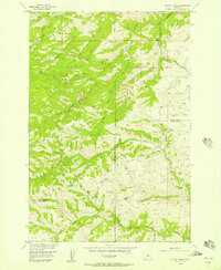
1955 · Wildcat Draw
USGS Topo · 1:24,000

1955 · Greycliff
USGS Topo · 1:24,000
1955 · Cow Face Hill
USGS Topo · 1:24,000