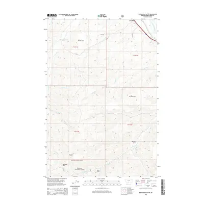
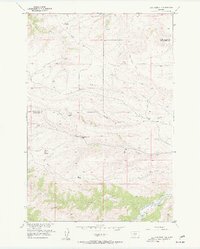
2014 Map of Packsaddle Butte
USGS Topo · Published 2014About this map
Packsaddle Butte anchors the high ground in the southern reaches of this landscape, situated within the protected boundaries of the Gallatin National Forest. This section of Sweet Grass County transitions from the forested uplands of the south to the fertile valley of the Yellowstone River in the northeast. The settlement of Greycliff sits near the riverbanks, where it served as a rail and travel waypoint long before the modern era.
Find a feature on this map
25 named features on this map. Tap any name to fly to it.
Don’t see what you’re looking for? This feature index may not catch every label — zoom into the map to look around manually.
Map Details
Editions of this 2014 Packsaddle Butte Map
This is the sole edition of this map. No revisions or reprints were ever made.
Other maps of this area

1891 · Big Timber
USGS Topo · 1:125,000

1893 · Big Timber
USGS Topo · 1:125,000

1954 · Big Timber
USGS Topo · 1:24,000
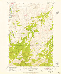
1954 · Ross Canyon
USGS Topo · 1:24,000
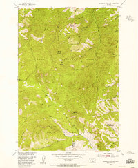
1954 · Sliderock Mountain
USGS Topo · 1:24,000

1954 · Billings
USGS Topo · 1:250,000

1955 · Packsaddle Butte
USGS Topo · 1:24,000
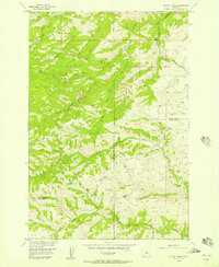
1955 · Wildcat Draw
USGS Topo · 1:24,000

1955 · Greycliff
USGS Topo · 1:24,000
1955 · Cow Face Hill
USGS Topo · 1:24,000