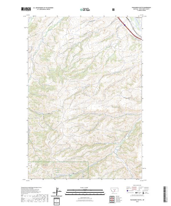
2024 Map of Packsaddle Butte
USGS Topo · Published 2024About this map
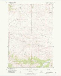
Packsaddle Butte rises as a central landmark in this portion of Sweet Grass County, where the high-plains landscape gives way to the northern reaches of the Gallatin National Forest. This modern 2024 survey documents a terrain defined by steep gulches and intermittent watercourses that drain toward the Yellowstone River in the northeast corner. The map reveals a complex network of canyons and ridges, including Overfelt Gulch and Fahlgren Gulch, which cut through the northern townships.
Find a feature on this map
28 named features on this map. Tap any name to fly to it.
Don’t see what you’re looking for? This feature index may not catch every label — zoom into the map to look around manually.
Map Details
Editions of this 2024 Packsaddle Butte Map
This is the sole edition of this map. No revisions or reprints were ever made.
Other maps of this area

1891 · Big Timber
USGS Topo · 1:125,000

1893 · Big Timber
USGS Topo · 1:125,000

1954 · Big Timber
USGS Topo · 1:24,000
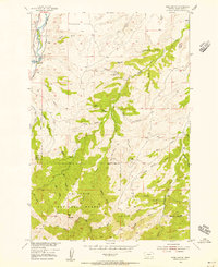
1954 · Ross Canyon
USGS Topo · 1:24,000
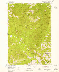
1954 · Sliderock Mountain
USGS Topo · 1:24,000

1954 · Billings
USGS Topo · 1:250,000

1955 · Packsaddle Butte
USGS Topo · 1:24,000
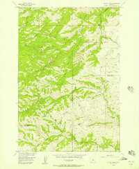
1955 · Wildcat Draw
USGS Topo · 1:24,000

1955 · Greycliff
USGS Topo · 1:24,000
1955 · Cow Face Hill
USGS Topo · 1:24,000