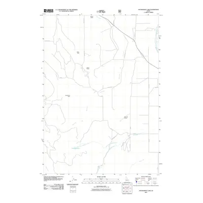
2011 Map of Packsaddle Lake
USGS Topo · Published 2011About this map
Packsaddle Lake and the high ridges of the Teton Range dominate this 2011 survey, where the drainages of Milk Creek and Packsaddle Creek carve through the western slopes. The landscape is defined by distinctive topographic landmarks like Susies Nipple, Baldy Knoll, and Grandview Point, which oversee a network of forest roads including Milk Creek Rd and Packsaddle Rd. These corridors provide access to secluded water sources such as Neville Spring and the headwaters of Dude Creek and Wright Creek.
Find a feature on this map
30 named features on this map. Tap any name to fly to it.
Don’t see what you’re looking for? This feature index may not catch every label — zoom into the map to look around manually.
Map Details
Editions of this 2011 Packsaddle Lake Map
This is the sole edition of this map. No revisions or reprints were ever made.
Other maps of this area

1943 · Driggs
USGS Topo · 1:62,500

1943 · Garns Mtn
USGS Topo · 1:62,500

1946 · Driggs
USGS Topo · 1:62,500

1946 · Garns Mtn
USGS Topo · 1:62,500

1955 · Driggs
USGS Topo · 1:250,000

1958 · Driggs
USGS Topo · 1:250,000

1962 · Driggs
USGS Topo · 1:250,000

1965 · Lamont
USGS Topo · 1:24,000

1965 · Packsaddle Lake
USGS Topo · 1:24,000
1965 · Linderman Dam
USGS Topo · 1:24,000