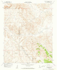
1961 Map of Packwood Creek
USGS Topo · Published 1962About this map
Poso Ortega lies in the high desert transition between the Temblor Range and the Shale Hills, marking a landscape defined by ranching and resource extraction in the early 1960s. This survey, conducted by the State of California Department of Water Resources and the USGS, documents the infrastructure of the era including the Butterwater Pumping Station and an extensive Pipeline traversing the hills. The map highlights the sparse water sources critical to this arid environment, such as Sulphur Spring, Bitterwater Spring, and the seasonal flows of Packwood Creek and Bitterwater Creek. The terrain is characterized by broad alluvial features like Miller Flats and the steep elevation of Yeguas Mountain, which rises above Cedar Canyon. Small-scale prospecting is evident near the Bitterwater Valley, providing a record of local mineral interests alongside established cattle trails and jeep tracks.
Find a feature on this map
25 named features on this map. Tap any name to fly to it.
Don’t see what you’re looking for? This feature index may not catch every label — zoom into the map to look around manually.
Map Details
Editions of this 1961 Packwood Creek Map
2 editions found
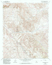
Other maps of this area

1912 · McKittrick
USGS Topo · 1:125,000

1914 · Lost Hills
USGS Topo · 1:125,000

1914 · Cholame
USGS Topo · 1:125,000

1915 · Cholame
USGS Topo · 1:125,000

1917 · Cholame
USGS Topo · 1:125,000

1932 · La Panza
USGS Topo · 1:48,000

1935 · La Panza
USGS Topo · 1:62,500

1936 · La Panza
USGS Topo · 1:62,500

1943 · Packwood
USGS Topo · 1:31,680

1943 · Grant Lake
USGS Topo · 1:31,680