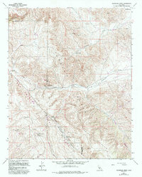
1961 Map of Packwood Creek
USGS Topo · Published 1993About this map
The San Andreas Rift Zone carves a dramatic geological path through this portion of the Temblor Range along the border of Kern and San Luis Obispo counties. This landscape is defined by the industrial infrastructure of the Bitterwater Pumping Station and a major pipeline that traverses the Bitterwater Valley. Settlement is sparse, represented by small outposts like Graves and Poso Ortega, suggesting a region primarily utilized for resource extraction and transit rather than dense habitation.
Find a feature on this map
28 named features on this map. Tap any name to fly to it.
Don’t see what you’re looking for? This feature index may not catch every label — zoom into the map to look around manually.
Map Details
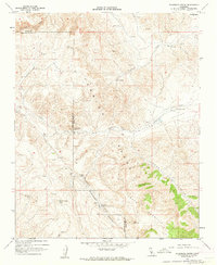
Editions of this 1961 Packwood Creek Map
2 editions found
Other maps of this area

1912 · McKittrick
USGS Topo · 1:125,000

1914 · Lost Hills
USGS Topo · 1:125,000

1914 · Cholame
USGS Topo · 1:125,000

1915 · Cholame
USGS Topo · 1:125,000

1917 · Cholame
USGS Topo · 1:125,000

1932 · La Panza
USGS Topo · 1:48,000

1935 · La Panza
USGS Topo · 1:62,500

1936 · La Panza
USGS Topo · 1:62,500

1943 · Packwood
USGS Topo · 1:31,680

1943 · Grant Lake
USGS Topo · 1:31,680