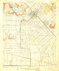
1927 Map of Pacoima
USGS Topo · Published 1927About this map
The San Fernando Mission stands as a central landmark in this 1920s landscape, surrounded by the expanding street grids of the San Fernando Valley. This era captures a crucial period of agricultural and suburban transition within the City of Los Angeles boundaries, where extensive orchards and fields are increasingly bisected by major thoroughfares like Sepulveda Boulevard and San Fernando Mission Boulevard. Infrastructure for a growing population is evident in the San Fernando Reservoir and the network of washes, including Pacoima Wash and Tujunga Wash, which define the drainage of the valley floor.
Find a feature on this map
48 named features on this map. Tap any name to fly to it.
Don’t see what you’re looking for? This feature index may not catch every label — zoom into the map to look around manually.
Map Details
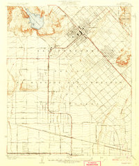
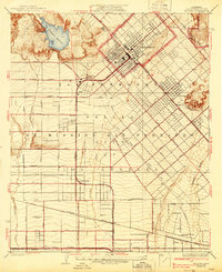
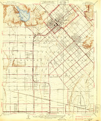
Editions of this 1927 Pacoima Map
4 editions found
Other maps of this area

1894 · Los Angeles
USGS Topo · 1:62,500

1896 · Santa Monica
USGS Topo · 1:62,500

1898 · Santa Monica
USGS Topo · 1:62,500

1900 · Los Angeles
USGS Topo · 1:62,500

1900 · Fernando
USGS Topo · 1:62,500

1901 · Southern California Sheet No. 1
USGS Topo · 1:250,000

1902 · Santa Monica
USGS Topo · 1:62,500

1903 · Calabasas
USGS Topo · 1:62,500

1903 · Camulos
USGS Topo · 1:125,000

1903 · Santa Susana
USGS Topo · 1:62,500