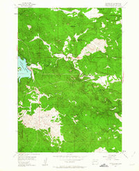
1954 Map of Pactola Dam
USGS Topo · Published 1963About this map
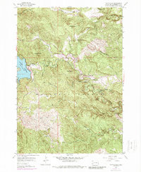
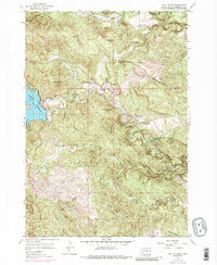
Pactola Reservoir dominates the western edge of this mid-century survey, a landscape defined by the winding course of Rapid Creek and its many tributary gulches. The terrain is a complex network of elevations within the Black Hills National Forest, featuring prominent heights like Norris Peak and Thrall Mountain. Significant cultural features include the specialized Wheaton College Science Camp and the historic Abandoned Flume, which traces a path through the steep topography near Big Bend.
Find a feature on this map
49 named features on this map. Tap any name to fly to it.
Don’t see what you’re looking for? This feature index may not catch every label — zoom into the map to look around manually.
Map Details
Editions of this 1954 Pactola Dam Map
6 editions found
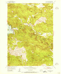
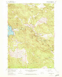
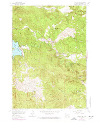
Other maps of this area

1893 · Rapid
USGS Topo · 1:125,000

1894 · Deadwood
USGS Topo · 1:125,000

1894 · Hermosa
USGS Topo · 1:125,000

1896 · Harney Peak
USGS Topo · 1:125,000

1898 · Rapid
USGS Topo · 1:125,000

1901 · Hermosa
USGS Topo · 1:125,000

1901 · Harney Peak
USGS Topo · 1:125,000

1901 · Deadwood
USGS Topo · 1:125,000

1903 · Rapid
USGS Topo · 1:125,000

1916 · Deadwood
USGS Topo · 1:125,000