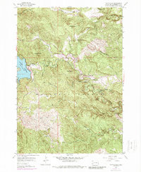
1954 Map of Pactola Dam
USGS Topo · Published 1989About this map
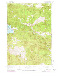
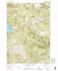
Pactola Reservoir dominates this landscape within the Black Hills National Forest, where the newly constructed Pactola Dam altered the course of Rapid Creek. This mid-century survey reveals a transition from industrial water management to recreational use. Evidence of the region’s hydraulic history is visible along the Abandoned Flume winding through the gulches, while the presence of the Wheaton College Summer Camp and Placerville Camp points toward the area's growing role as a summer retreat. Small settlements like Johnson and Hisega are tucked into the drainages of Loveland Canyon and Wild Irishman Gulch. Significant landmarks such as the Norris Peak (Lookout Tower) and the Thunderhead Falls Tunnel illustrate the diverse infrastructure of Pennington County, from fire observation to the development of local geological attractions.
Find a feature on this map
43 named features on this map. Tap any name to fly to it.
Don’t see what you’re looking for? This feature index may not catch every label — zoom into the map to look around manually.
Map Details
Editions of this 1954 Pactola Dam Map
6 editions found
Other maps of this area

1893 · Rapid
USGS Topo · 1:125,000

1894 · Deadwood
USGS Topo · 1:125,000

1894 · Hermosa
USGS Topo · 1:125,000

1896 · Harney Peak
USGS Topo · 1:125,000

1898 · Rapid
USGS Topo · 1:125,000

1901 · Hermosa
USGS Topo · 1:125,000

1901 · Harney Peak
USGS Topo · 1:125,000

1901 · Deadwood
USGS Topo · 1:125,000

1903 · Rapid
USGS Topo · 1:125,000

1916 · Deadwood
USGS Topo · 1:125,000