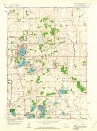
1959 Map of Paddock Lake
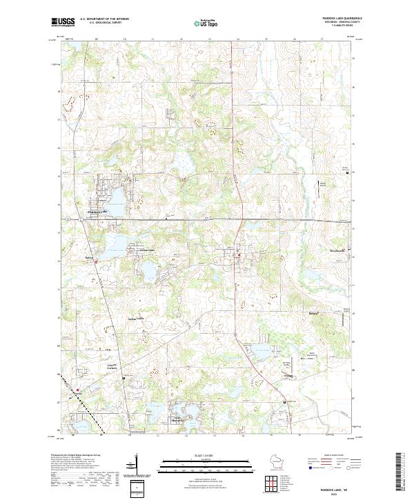
USGS Topo · Published 1990About this map
The Richard Bong Air Force Base (Abandoned) dominates the northern landscape of this Kenosha County survey, reflecting a massive Cold War project that was halted before completion. This 1959 record (with 1971 updates) reveals a transition from traditional rural townships like Brighton and Paris to growing lakeside communities. Dense clusters of development appear around Paddock Lake and Hooker Lake, while the southern reaches towards the Illinois border show a reliance on local institutions like the Holy Family Convent and Salem and Bristol Sch. Significant water management is evident along the Des Plaines River and the Dutch Gap Canal, which channel through the eastern agricultural lands. Genealogists will find many local landmarks preserved here, from the Liberty Cem near Liberty Corners to the small settlement of Trevor and the industrial presence of the Sewage Disposal plant.
Find a feature on this map
46 named features on this map. Tap any name to fly to it.
Don’t see what you’re looking for? This feature index may not catch every label — zoom into the map to look around manually.
Map Details
Editions of this 1959 Paddock Lake Map
3 editions found