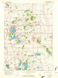
1959 Map of Paddock Lake
USGS Topo · Published 1972About this map
The Richard Bong Air Force Base (Abandoned) dominates the northwest corner of this Kenosha County landscape, providing a stark contrast to the dense cluster of residential growth around Paddock Lake and Hooker Lake. As the 1970s approached, the region was evolving from its agricultural roots in Brighton and Paris into a lakeside retreat and suburban corridor. The map details a community defined by its water, from the complex shoreline of Lake Shangrila and Benet Lake at the Illinois border to the Dutch Gap Canal draining the eastern marshes. Local institutions like the Holy Family Convent, Central High Sch, and the Union League Boys Camp suggest a well-established social fabric. For genealogists, several burial sites are documented, including Union Cem, Liberty Cem, and Hosmer Cem.
Find a feature on this map
52 named features on this map. Tap any name to fly to it.
Don’t see what you’re looking for? This feature index may not catch every label — zoom into the map to look around manually.
Map Details
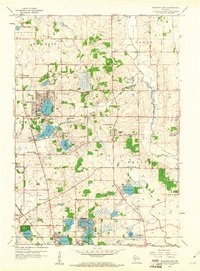
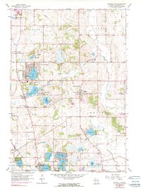
Editions of this 1959 Paddock Lake Map
3 editions found
Other maps of this area

1892 · Racine
USGS Topo · 1:62,500

1893 · Silver Lake
USGS Topo · 1:62,500

1905 · Racine
USGS Topo · 1:62,500

1906 · Silver Lake
USGS Topo · 1:62,500

1906 · Waukegan
USGS Topo · 1:62,500

1908 · Waukegan
USGS Topo · 1:62,500

1920 · Grays Lake
USGS Topo · 1:62,500

1923 · Grays Lake
USGS Topo · 1:62,500

1954 · Rockford
USGS Topo · 1:250,000

1955 · Rockford
USGS Topo · 1:250,000