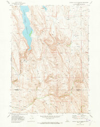
1970 Map of Paddock Valley Reservoir
USGS Topo · Published 1973About this map
Paddock Valley Reservoir dominates the high-desert landscape of western Idaho, its waters contained at an elevation of 3,210 feet as shown during this 1970 field check. The terrain is defined by a complex network of drainages and seasonal water sources, from the prominent Little Willow Creek and Indian Creek to smaller features like Hog Cove Creek and Rattlesnake Creek. This area, straddling the Washington and Payette County line, was mapped during a period of managed irrigation and livestock grazing, evidenced by the numerous Springs and the smaller Soulen Reservoir to the north. The topographical detail reveals a landscape utilized for ranching, with Jeep Trails and fence lines cutting across Little Willow Flat and winding through deep-cut features such as George Way Gulch and Cherry Gulch. A Flowing Well in the southwest corner further underscores the critical importance of water management in this arid environment.
Find a feature on this map
18 named features on this map. Tap any name to fly to it.
Don’t see what you’re looking for? This feature index may not catch every label — zoom into the map to look around manually.
Map Details
Editions of this 1970 Paddock Valley Reservoir Map
This is the sole edition of this map. No revisions or reprints were ever made.
Other maps of this area

1894 · Squaw Creek
USGS Topo · 1:125,000

1897 · Weiser
USGS Topo · 1:125,000

1955 · Baker
USGS Topo · 1:250,000

1957 · Crane Creek Reservoir
USGS Topo · 1:62,500

1959 · Baker
USGS Topo · 1:250,000
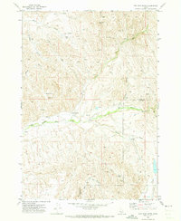
1970 · Hog Cove Butte
USGS Topo · 1:24,000
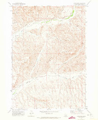
1970 · Sheep Ridge
USGS Topo · 1:24,000
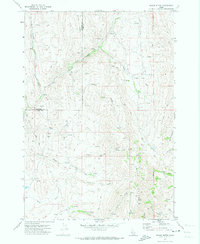
1970 · Squaw Butte
USGS Topo · 1:24,000
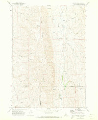
1970 · Coonrod Gulch
USGS Topo · 1:24,000
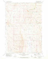
1970 · Riley Butte
USGS Topo · 1:24,000