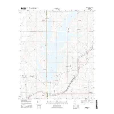
2015 Map of Paden SE
USGS Topo · Published 2015About this map
Bay Springs Lake dominates the central landscape of this Tishomingo and Prentiss County border region, where the Tennessee-Tombigbee Waterway transformed the local geography. The map reveals a high concentration of burial grounds that mark the heritage of dispersed rural communities, including the Old Mackeys Creek Cem and Piney Grove Cem situated near the lake's western shore. Along the eastern edge, the Natchez Trace Parkway and National Scenic Trail winds through the terrain, passing landmarks such as Bonds Cem and Phillips Cem. In the west, the settlement of East Prentiss is documented alongside Friendship Cem. The intricate network of county roads, such as CR-3490 and CR-418, connects these sites to the various creek systems like Jourdan Cr and Mackeys Creek that feed into the reservoir.
Find a feature on this map
74 named features on this map. Tap any name to fly to it.
Don’t see what you’re looking for? This feature index may not catch every label — zoom into the map to look around manually.
Map Details
Editions of this 2015 Paden SE Map
This is the sole edition of this map. No revisions or reprints were ever made.
Other maps of this area

1935 · Holcut
USGS Topo · 1:24,000

1936 · Belmont
USGS Topo · 1:24,000

1936 · Red Bay
USGS Topo · 1:24,000

1936 · Tishomingo
USGS Topo · 1:24,000

1950 · Paden
USGS Topo · 1:24,000

1950 · Altitude
USGS Topo · 1:24,000

1950 · Belmont
USGS Topo · 1:24,000
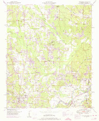
1950 · Tishomingo
USGS Topo · 1:24,000

1951 · Red Bay
USGS Topo · 1:24,000
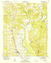
1951 · Belmont
USGS Topo · 1:24,000