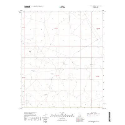
2023 Map of Paduca Breaks East
USGS Topo · Published 2023About this map
Red Hills dominates this corner of southeastern New Mexico, characterized by its arid basins and a network of ephemeral drainage patterns. The landscape is defined by extensive topographic features such as Red Hills Draw and Salado Draw, which channel seasonal water through the region. In this cattle-ranching and oil-producing territory of Lea County, the distribution of vital water sources is clearly mapped through numerous named catchments, including Penn Tank, Christian Tank, and Needmore Tank.
Find a feature on this map
21 named features on this map. Tap any name to fly to it.
Don’t see what you’re looking for? This feature index may not catch every label — zoom into the map to look around manually.
Map Details
Editions of this 2023 Paduca Breaks East Map
This is the sole edition of this map. No revisions or reprints were ever made.
Other maps of this area

1954 · Hobbs
USGS Topo · 1:250,000

1954 · Pecos
USGS Topo · 1:250,000

1957 · Pecos
USGS Topo · 1:250,000

1958 · Hobbs
USGS Topo · 1:250,000

1969 · Kyle Ranch
USGS Topo · 1:24,000

1969 · Rudd Draw NE
USGS Topo · 1:24,000

1970 · Brunson Ranch
USGS Topo · 1:24,000

1973 · Bell Lake
USGS Topo · 1:24,000

1973 · Paduca Breaks NW
USGS Topo · 1:24,000

1973 · Paduca Breaks East
USGS Topo · 1:24,000