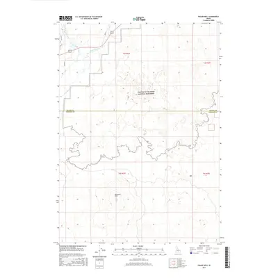
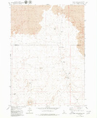
2017 Map of Pagari Well
USGS Topo · Published 2017About this map
Craters Of The Moon National Monument dominates this portion of Idaho, where the high desert terrain of the Snake River Plain meets complex volcanic formations. This 2017 survey details the southern reaches of the monument, showing the sharp contrast between the jagged lava fields and the irrigated lands to the northwest. Hydrological features such as the Little Wood River and Silver Creek define the edge of this volcanic landscape, alongside the W Canal which supports local agriculture. Landmarks like Monument Butte and Pagari Well provide essential reference points for navigating the expansive, high-altitude flats. The map also delineates the administrative boundary between Blaine and Lincoln counties, capturing the modern interface of protected wilderness and rural water management systems.
Find a feature on this map
2 named features on this map. Tap any name to fly to it.
Don’t see what you’re looking for? This feature index may not catch every label — zoom into the map to look around manually.
Map Details
Editions of this 2017 Pagari Well Map
This is the sole edition of this map. No revisions or reprints were ever made.
Other maps of this area

1955 · Idaho Falls
USGS Topo · 1:250,000

1955 · Hailey
USGS Topo · 1:250,000

1958 · Idaho Falls
USGS Topo · 1:250,000

1959 · Hailey
USGS Topo · 1:250,000

1962 · Hailey
USGS Topo · 1:250,000

1978 · Craters Of The Moon
USGS Topo · 1:100,000
1979 · Black Ridge Crater
USGS Topo · 1:24,000
1979 · Paddelford Flat
USGS Topo · 1:24,000
1979 · Pagari Well
USGS Topo · 1:24,000
1979 · Wagon Butte
USGS Topo · 1:24,000