
1962 Map of Page
USGS Topo · Published 1966About this map
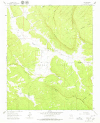
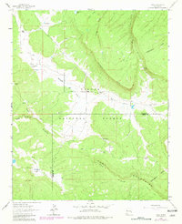
Radosevich Ranch and several family-named homesteads such as Sanchez Place and Merrill Place anchor this remote high-country landscape in the early 1960s. The terrain is defined by the high ridges of the Zuni Mountains, where the Continental Divide winds across the southeastern corner. This area serves as a significant watershed, with Rio Nutria and Willow Creek draining the canyons. Within the Cibola National Forest, the map captures a pattern of isolated rural dwellings situated on flats between prominent landforms like Oso Ridge and McKenzie Ridge. The mapping of specific sites like Bloomfield Flat and Baagal Place provides a clear view of local land use and tenure before the transition to more modern forest management practices in this part of New Mexico.
Find a feature on this map
25 named features on this map. Tap any name to fly to it.
Don’t see what you’re looking for? This feature index may not catch every label — zoom into the map to look around manually.
Map Details
Editions of this 1962 Page Map
3 editions found
Other maps of this area

1886 · Wingate
USGS Topo · 1:250,000

1892 · Wingate
USGS Topo · 1:250,000

1954 · Gallup
USGS Topo · 1:250,000

1958 · Gallup
USGS Topo · 1:250,000

1959 · Gallup
USGS Topo · 1:250,000

1961 · Cottonwood Canyon
USGS Topo · 1:24,000

1962 · Gallup
USGS Topo · 1:250,000

1962 · Ciniza
USGS Topo · 1:24,000

1962 · Continental Divide
USGS Topo · 1:24,000

1962 · Cottonwood Canyon
USGS Topo · 1:24,000