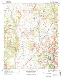
1969 Map of Page Springs
USGS Topo · Published 1977About this map
Coconino National Forest defines the rugged topography of this region, where the riparian corridor of Oak Creek provides a stark contrast to the high desert plateaus. The settlement of Page Springs serves as a focal point for activity along the water, housing the Page Springs State Fish Cultural Station and a Gaging Station to monitor the flow of this vital desert resource. The presence of the Christian Indian Sch and a Trailer Park near the creek suggest a small, established community built around the unique hydrology of the area.
Find a feature on this map
46 named features on this map. Tap any name to fly to it.
Don’t see what you’re looking for? This feature index may not catch every label — zoom into the map to look around manually.
Map Details
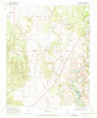
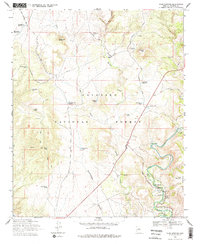
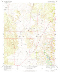
Editions of this 1969 Page Springs Map
4 editions found
Other maps of this area

1887 · Verde
USGS Topo · 1:250,000

1887 · Prescott
USGS Topo · 1:250,000

1892 · Verde
USGS Topo · 1:250,000

1892 · Prescott
USGS Topo · 1:250,000

1905 · Jerome
USGS Topo · 1:125,000

1923 · Camp Verde
USGS Topo · 1:125,000

1932 · Camp Verde
USGS Topo · 1:125,000

1936 · Camp Verde
USGS Topo · 1:125,000

1944 · Clarkdale
USGS Topo · 1:48,000

1944 · Mingus Mountain
USGS Topo · 1:62,500