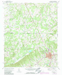
1971 Map of Pageland
USGS Topo · Published 1988About this map
Pageland serves as the primary hub in this topographic survey, which captures the rural borderlands between Union County and Chesterfield County. The landscape is defined by a dense network of small communities and rural congregations, including Philadelphia Ch, Beulah Ch, and Zoar Ch, indicating a deeply rooted social fabric tied to these local landmarks. Industrial activity is represented by a Sandpit and a Filtration Plant near the southern town limits, while the surrounding terrain is drained by numerous waterways such as Lanes Creek and Hills Creek.
Find a feature on this map
34 named features on this map. Tap any name to fly to it.
Don’t see what you’re looking for? This feature index may not catch every label — zoom into the map to look around manually.
Map Details
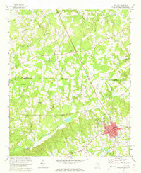
Editions of this 1971 Pageland Map
2 editions found
Other maps of this area

1941 · Spartanburg
USGS Topo · 1:250,000

1953 · Spartanburg
USGS Topo · 1:250,000

1960 · Spartanburg
USGS Topo · 1:250,000

1963 · Spartanburg
USGS Topo · 1:250,000

1964 · Spartanburg
USGS Topo · 1:250,000

1968 · Jefferson
USGS Topo · 1:24,000

1968 · Jefferson NE
USGS Topo · 1:24,000
1969 · Taxahaw
USGS Topo · 1:24,000

1970 · Marshville
USGS Topo · 1:24,000
1970 · Wingate
USGS Topo · 1:24,000