
1927 Map of Pagosa Springs
USGS Topo · Published 1927About this map
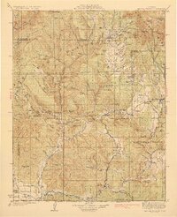
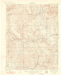
Pagosa Springs serves as the hub for this 1920s survey of the San Juan Mountains, situated at the confluence of the San Juan River and the Pagosa River. The landscape is defined by its early transport and education networks, with the Denver and Rio Grande Western railroad threading through the southern border, connecting remote river settlements like Pagosa Junction, Arboles, and Carracas. The presence of several rural schools, including the Yellowjacket School and Stollsteimer School, indicates a dispersed but established community of homesteaders and ranchers operating within the San Juan National Forest.
Find a feature on this map
103 named features on this map. Tap any name to fly to it.
Don’t see what you’re looking for? This feature index may not catch every label — zoom into the map to look around manually.
Map Details
Editions of this 1927 Pagosa Springs Map
3 editions found
Other maps of this area

1889 · Largo
USGS Topo · 1:250,000

1895 · Largo
USGS Topo · 1:250,000

1900 · Needle Mountains
USGS Topo · 1:62,500

1902 · Needle Mountains
USGS Topo · 1:62,500

1905 · San Cristobal
USGS Topo · 1:125,000

1907 · San Cristobal
USGS Topo · 1:125,000

1908 · Ignacio
USGS Topo · 1:125,000

1913 · Summitville
USGS Topo · 1:125,000

1914 · Creede
USGS Topo · 1:125,000

1915 · Summitville
USGS Topo · 1:125,000