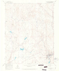
1964 Map of Pagosa Springs
USGS Topo · Published 1967About this map
Pagosa Springs sits at the confluence of the San Juan River and McCabe Creek, serving as a central hub for ranching and timber activities in the mid-1960s. The town's infrastructure is clearly documented, including the High Sch, Hilltop Cemetery, and the nearby Stevens Airfield. Water management is a defining characteristic of this landscape, with numerous catchments like Sullenburger Reservoir, Stevens Reservoir, and Hatcher Reservoir supporting the area's agricultural and domestic needs. To the west of the main settlement, the Pagosa Springs Job Corps center is established on Oakbrush Hill, illustrating the era's federal investment in vocational training. The surrounding San Juan National Forest and high-elevation terrain such as Coyote Hill and Sunetha Flats underscore the town's position as a mountain gateway.
Find a feature on this map
24 named features on this map. Tap any name to fly to it.
Don’t see what you’re looking for? This feature index may not catch every label — zoom into the map to look around manually.
Map Details
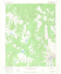
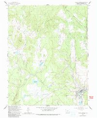
Editions of this 1964 Pagosa Springs Map
3 editions found
Other maps of this area

1913 · Summitville
USGS Topo · 1:125,000

1915 · Summitville
USGS Topo · 1:125,000

1924 · Pagosa Springs
USGS Topo · 1:125,000

1927 · Pagosa Springs
USGS Topo · 1:125,000

1945 · Durango
USGS Topo · 1:250,000

1953 · Durango
USGS Topo · 1:250,000

1954 · Durango
USGS Topo · 1:250,000

1957 · Chromo
USGS Topo · 1:62,500

1957 · Wolf Creek Pass
USGS Topo · 1:62,500

1957 · Pagosa Junction
USGS Topo · 1:62,500