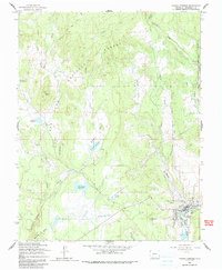
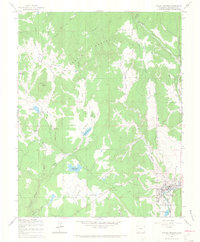
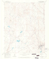
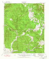
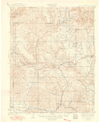
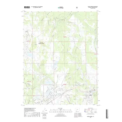
1964 Map of Pagosa Springs
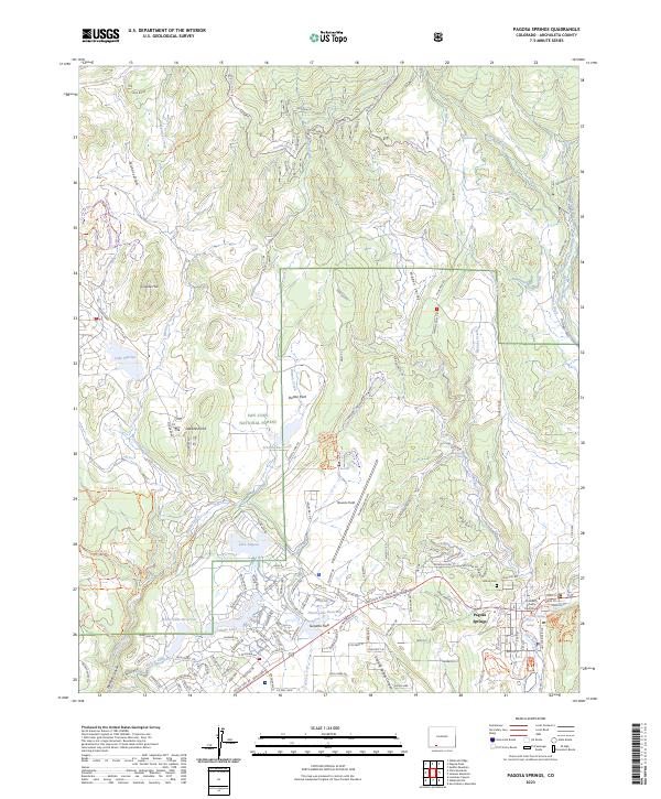
USGS Topo · Published 1991About this map
Pagosa Springs and its surrounding landscape are defined by the winding course of the San Juan River and a sophisticated network of water management features. During the early 1960s, the town's expansion was supported by the presence of Stevens Airfield and local infrastructure such as a Radio Tower and Gravel Pit. The mapping highlights the critical importance of water storage in this high-altitude environment, featuring several prominent named basins including Hatcher Reservoir, Sullenburger Reservoir, Stevens Reservoir, and Bennett Reservoir.
Find a feature on this map
32 named features on this map. Tap any name to fly to it.
Don’t see what you’re looking for? This feature index may not catch every label — zoom into the map to look around manually.
Map Details
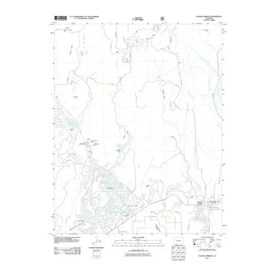
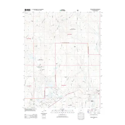
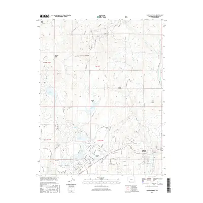
Editions of this 1964 Pagosa Springs Map
3 editions found
Historical Maps of Pagosa Springs Through Time
8 maps found
1924 Pagosa Springs
Archuleta County, CO
1927 Pagosa Springs
Archuleta County, CO
1964 Pagosa Springs
Archuleta County, CO
2011 Pagosa Springs
Archuleta County, CO
2013 Pagosa Springs
Archuleta County, CO
2016 Pagosa Springs
Archuleta County, CO
2019 Pagosa Springs
Archuleta County, CO
2023 Pagosa Springs
Archuleta County, CO