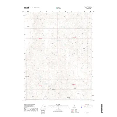
2018 Map of Pah-Rum Peak
USGS Topo · Published 2018About this map
Pah-Rum Peak stands as the central high point in this corner of Washoe County, anchoring a landscape defined by the steep elevation changes of the Fox Range. To the northwest, the terrain transitions into the expanse of the Smoke Creek Desert, while the surrounding slopes are dissected by numerous drainages including Wild Horse Canyon, Rattlesnake Canyon, and Mullens Canyon.
Find a feature on this map
29 named features on this map. Tap any name to fly to it.
Don’t see what you’re looking for? This feature index may not catch every label — zoom into the map to look around manually.
Map Details
Editions of this 2018 Pah-Rum Peak Map
This is the sole edition of this map. No revisions or reprints were ever made.
Other maps of this area

1886 · Granite Range
USGS Topo · 1:250,000

1894 · Granite Range
USGS Topo · 1:250,000

1955 · Lovelock
USGS Topo · 1:250,000

1959 · Lovelock
USGS Topo · 1:250,000

1964 · Gerlach
USGS Topo · 1:62,500

1964 · Kumiva Peak
USGS Topo · 1:62,500

1965 · Fox Range
USGS Topo · 1:62,500

1980 · Hog Spring
USGS Topo · 1:24,000

1980 · Smith Canyon
USGS Topo · 1:24,000

1981 · Gerlach
USGS Topo · 1:100,000