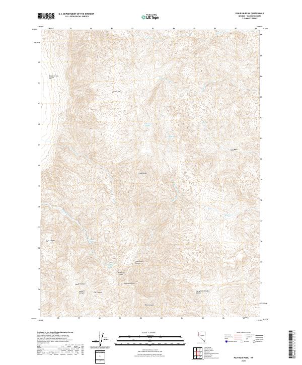
2021 Map of Pah-Rum Peak
USGS Topo · Published 2021About this map
Pah-Rum Peak serves as the focal point of this arid landscape in the high desert of western Nevada. The terrain is defined by the sharp verticality of the Fox Range, where deep drainages like Rattlesnake Canyon, Fox Canyon, and Mullens Canyon cut through the slopes toward the eastern edge of the Smoke Creek Desert. Water is the primary driver of geography here, with several isolated points of relief including Mud Trough Spring, Bull Basin Spring, and Roseberry Spring providing critical resources in an otherwise unforgiving environment. Higher elevations reveal Juniper Flat and the wide depression of Bull Basin, while a network of seasonal watercourses such as Willow Cr, Coyote Cr, and Rodeo Cr trace the paths of occasional runoff through the complex system of ridges and canyons.
Find a feature on this map
29 named features on this map. Tap any name to fly to it.
Don’t see what you’re looking for? This feature index may not catch every label — zoom into the map to look around manually.
Map Details
Editions of this 2021 Pah-Rum Peak Map
This is the sole edition of this map. No revisions or reprints were ever made.
Other maps of this area

1886 · Granite Range
USGS Topo · 1:250,000

1894 · Granite Range
USGS Topo · 1:250,000

1955 · Lovelock
USGS Topo · 1:250,000

1959 · Lovelock
USGS Topo · 1:250,000

1964 · Gerlach
USGS Topo · 1:62,500

1964 · Kumiva Peak
USGS Topo · 1:62,500

1965 · Fox Range
USGS Topo · 1:62,500

1980 · Hog Spring
USGS Topo · 1:24,000

1980 · Smith Canyon
USGS Topo · 1:24,000

1981 · Gerlach
USGS Topo · 1:100,000