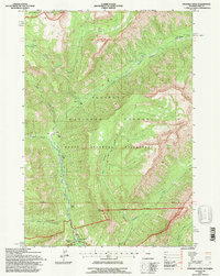
1991 Map of Pahaska Tepee
USGS Topo · Published 1997About this map
Pahaska Tepee serves as a focal point at the junction of Middle Creek and the North Fork Shoshone River, marking the eastern approach to Yellowstone National Park. This 1991 revision, based on field checks by the U.S. Forest Service, documents a landscape dominated by the high-elevation terrain of the Shoshone National Forest and the North Absaroka Wilderness. The map captures specific historical sites and landmarks such as the Camp Monaco (Site) near Mormon Creek, along with local water features like Jones Creek and Sam Berry Meadow. The presence of a Sewage Disposal Pond and a Footbridge near the main settlement indicates the infrastructure required to support visitors entering the wilderness. Surveyors also noted the Thirteenth Standard Parallel North, which cuts across the drainage of Grinnell Creek and the slopes of Crow Peak.
Find a feature on this map
18 named features on this map. Tap any name to fly to it.
Don’t see what you’re looking for? This feature index may not catch every label — zoom into the map to look around manually.
Map Details
Editions of this 1991 Pahaska Tepee Map
2 editions found
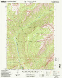
Other maps of this area

1885 · Lake
USGS Topo · 1:125,000

1886 · Canyon
USGS Topo · 1:125,000

1893 · Ishawooa
USGS Topo · 1:125,000

1895 · Ishawooa
USGS Topo · 1:125,000

1895 · Canyon
USGS Topo · 1:125,000

1895 · Lake
USGS Topo · 1:125,000

1896 · Lake
USGS Topo · 1:125,000

1896 · Canyon
USGS Topo · 1:125,000

1896 · Crandall Creek
USGS Topo · 1:125,000

1899 · Crandall
USGS Topo · 1:125,000