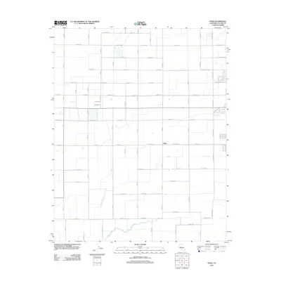
2012 Map of Paige
USGS Topo · Published 2012About this map
Paige occupies the center of this agricultural landscape in Tulare County, where the geometric precision of California's Central Valley irrigation and road network is on full display. The area is defined by an extensive grid of numbered roads and named thoroughfares such as W Prosperity Ave and W Cartmill Ave, which segment the territory into productive tracts. In the southern portion of the quadrangle, the natural drainage of Bates Slough provides a striking contrast to the surrounding man-made geometry. This 2012 survey illustrates the continued development of the rural-urban fringe near Tulare, showing how suburban extensions like W Soults Dr and N Enterprise St reach into the traditionally agrarian environment. The map captures a moment of modern transition, balancing heavy agricultural infrastructure with growing residential footprints.
Find a feature on this map
42 named features on this map. Tap any name to fly to it.
Don’t see what you’re looking for? This feature index may not catch every label — zoom into the map to look around manually.
Map Details
Editions of this 2012 Paige Map
This is the sole edition of this map. No revisions or reprints were ever made.
Other maps of this area

1925 · Tulare
USGS Topo · 1:31,680

1925 · Tipton
USGS Topo · 1:31,680

1926 · Goshen
USGS Topo · 1:31,680

1927 · Remnoy
USGS Topo · 1:31,680

1927 · Lake View School
USGS Topo · 1:31,680

1927 · Paige
USGS Topo · 1:31,680

1927 · Visalia
USGS Topo · 1:31,680

1927 · Tulare
USGS Topo · 1:31,680

1928 · Tipton
USGS Topo · 1:31,680

1928 · Waukena
USGS Topo · 1:31,680