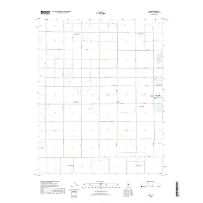
2018 Map of Paige
USGS Topo · Published 2018About this map
The agricultural landscape of the Central Valley dominates this 2018 study of the San Joaquin Valley, revealing a sophisticated network of water management essential to the region's productivity. A grid of county roads, such as California Ave and W Tulare Ave, connects the rural settlement of Paige to the western edge of Tulare. The intricate system of man-made waterways, including the Tulare Irrigation Canal, Kaweah Canal, and Packwood Ditch, illustrates how water was diverted across the flat terrain to support large-scale farming. Natural drainage features like Cameron Cr and Bates Slough intermingle with these irrigation works, including smaller channels like Hooper Ditch and Chism Ditch, showing the transformation of the valley floor into an engineered orchard and field environment.
Find a feature on this map
75 named features on this map. Tap any name to fly to it.
Don’t see what you’re looking for? This feature index may not catch every label — zoom into the map to look around manually.
Map Details
Editions of this 2018 Paige Map
This is the sole edition of this map. No revisions or reprints were ever made.
Other maps of this area

1925 · Tulare
USGS Topo · 1:31,680

1925 · Tipton
USGS Topo · 1:31,680

1926 · Goshen
USGS Topo · 1:31,680

1927 · Remnoy
USGS Topo · 1:31,680

1927 · Lake View School
USGS Topo · 1:31,680

1927 · Paige
USGS Topo · 1:31,680

1927 · Visalia
USGS Topo · 1:31,680

1927 · Tulare
USGS Topo · 1:31,680

1928 · Tipton
USGS Topo · 1:31,680

1928 · Waukena
USGS Topo · 1:31,680