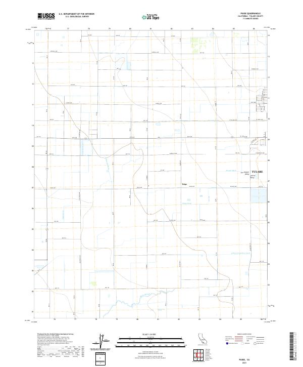
2021 Map of Paige
USGS Topo · Published 2021About this map
The settlement of Paige serves as a focal point for this section of the San Joaquin Valley, where a complex network of man-made waterways dictates the geography of the landscape. This 2021 survey illustrates the intensive water management systems required for agriculture in the region, featuring major arteries like the Tulare Irrigation Canal and the Kaweah Canal. Smaller local channels, including Packwood Ditch, Hooper Ditch, and Chism Ditch, weave between numbered avenues that define the local grid. Natural drainage is represented by Bates Slough and Cameron Cr, providing a contrast to the engineered irrigation paths. The map reveals a highly structured environment where historic naming conventions, such as Zumwalt Ave and Fogal Rd, persist alongside modern section lines, reflecting the long-standing land divisions within the Tulare area.
Find a feature on this map
46 named features on this map. Tap any name to fly to it.
Don’t see what you’re looking for? This feature index may not catch every label — zoom into the map to look around manually.
Map Details
Editions of this 2021 Paige Map
This is the sole edition of this map. No revisions or reprints were ever made.
Other maps of this area

1925 · Tulare
USGS Topo · 1:31,680

1925 · Tipton
USGS Topo · 1:31,680

1926 · Goshen
USGS Topo · 1:31,680

1927 · Remnoy
USGS Topo · 1:31,680

1927 · Lake View School
USGS Topo · 1:31,680

1927 · Paige
USGS Topo · 1:31,680

1927 · Visalia
USGS Topo · 1:31,680

1927 · Tulare
USGS Topo · 1:31,680

1928 · Tipton
USGS Topo · 1:31,680

1928 · Waukena
USGS Topo · 1:31,680